-
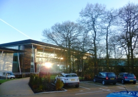
St George's Park National Football Centre
-

The Football Centre Building at St George's Park
St George's Park National Football Centre
The Football Centre Building at St George's Park
Location and coordinates are for the approximate centre of The Dingle within this administrative area. Geographic features and populated places may cross administrative borders.