-

Wet Grass Field off Hay Lane
-
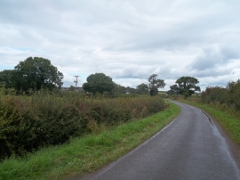
Crowfoot Lane
Wet Grass Field off Hay Lane
Crowfoot Lane
Location and coordinates are for the approximate centre of The Coppice within this administrative area. Geographic features and populated places may cross administrative borders.