-
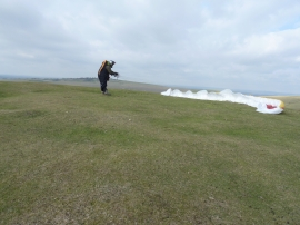
Safe landing on Mount Caburn
-
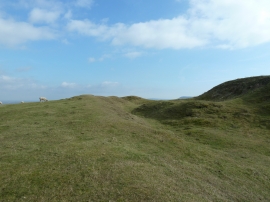
Earthworks on the north side of Mount Caburn
Safe landing on Mount Caburn
Earthworks on the north side of Mount Caburn
Location and coordinates are for the approximate centre of The Caburn within this administrative area. Geographic features and populated places may cross administrative borders.