-
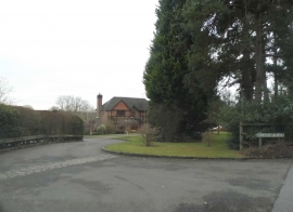
Broadham Place, Oxted
-
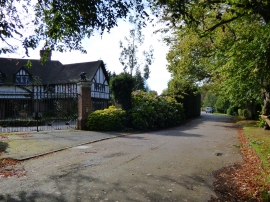
Oxted: Bonaly Manor, Neb Lane
Broadham Place, Oxted
Oxted: Bonaly Manor, Neb Lane
Location and coordinates are for the approximate centre of The Birches within this administrative area. Geographic features and populated places may cross administrative borders.