-
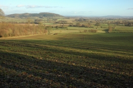
View to the east from Garnons Hill
-
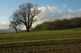
Trees in arable land
View to the east from Garnons Hill
Trees in arable land
Location and coordinates are for the approximate centre of The Belt within this administrative area. Geographic features and populated places may cross administrative borders.