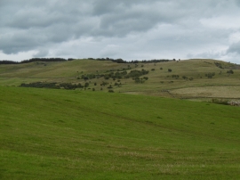
The Belt, Carlisle

« Gazetteer Entry
Upload Photo

The Belt, Carlisle

  • Unitary Authority: Carlisle
  • Region: Scotland
  • Category: Landcover
  • Type: Forest or Wood
  • Latitude/Longitude: 55°7'32"N 3°47'35"W
  • Eastings/Northings: 285747, 582733
  • OS Grid: NX857827
  • Mapcode Local: GBR 19Y5.KB
  • Mapcode Global: WH5W7.PFVB

Location and coordinates are for the approximate centre of The Belt within this administrative area. Geographic features and populated places may cross administrative borders.

BritishPlaceNames.uk is a Good Stuff website.