-
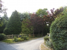
The entrance to Paddock Cottage on Old House Lane
-
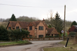
Cottage at Buck's Hill Bottom
The entrance to Paddock Cottage on Old House Lane
Cottage at Buck's Hill Bottom
Location and coordinates are for the approximate centre of Templepan Wood within this administrative area. Geographic features and populated places may cross administrative borders.