-

Arable land south of Temple Lane
-
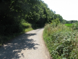
Private road
Arable land south of Temple Lane
Private road
Location and coordinates are for the approximate centre of Temple Wood within this administrative area. Geographic features and populated places may cross administrative borders.