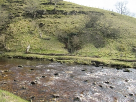
Teatherah Wood, North Yorkshire

« Gazetteer Entry
Upload Photo

Teatherah Wood, North Yorkshire

  • Parish/Community: Stonebeck Up
  • District/Borough: Harrogate
  • County: North Yorkshire
  • Region: Yorkshire and the Humber
  • Category: Landcover
  • Type: Forest or Wood
  • Latitude/Longitude: 54°10'55"N 1°50'59"W
  • Eastings/Northings: 409891, 476281
  • OS Grid: SE098762
  • Mapcode Local: GBR HNJ2.8K
  • Mapcode Global: WHC7H.K48P

Location and coordinates are for the approximate centre of Teatherah Wood within this administrative area. Geographic features and populated places may cross administrative borders.

BritishPlaceNames.uk is a Good Stuff website.