-

Cadditon Cross on A3124
-
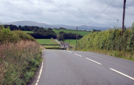
A3124 south from Cadditon Cross
Cadditon Cross on A3124
A3124 south from Cadditon Cross
Location and coordinates are for the approximate centre of Taylorsdown Moor within this administrative area. Geographic features and populated places may cross administrative borders.