-
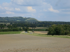
Fields by Alton Road
-
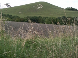
Picked Hill, Vale of Pewsey
Fields by Alton Road
Picked Hill, Vale of Pewsey
Location and coordinates are for the approximate centre of Tawsmead Copse within this administrative area. Geographic features and populated places may cross administrative borders.