-

Tavernspite - new road sign - LIME ROAD
-
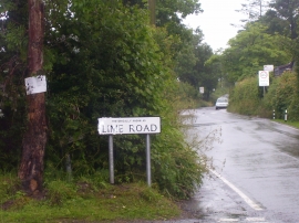
Tavernspite - new road sign - LIME ROAD
Tavernspite - new road sign - LIME ROAD
Tavernspite - new road sign - LIME ROAD
Location and coordinates are for the approximate centre of Tavernspite within this administrative area. Geographic features and populated places may cross administrative borders.