-
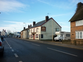
High Street, Tattershall
-
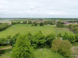
View North from the battlements of Tattershall Castle
High Street, Tattershall
View North from the battlements of Tattershall Castle
Other current and historical names
Location and coordinates are for the approximate centre of Tattershall within this administrative area. Geographic features and populated places may cross administrative borders.