-

Snelshall Street passes Snelshall industrial areas
-
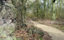
Path through Water Spinney
Snelshall Street passes Snelshall industrial areas
Path through Water Spinney
Location and coordinates are for the approximate centre of Tattenhoe within this administrative area. Geographic features and populated places may cross administrative borders.