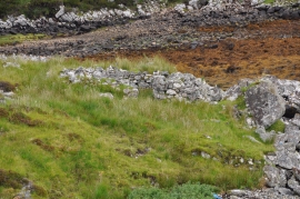
Tathas Mhòr, Na h-Eileanan Siar

« Gazetteer Entry
Upload Photo

Tathas Mhòr, Na h-Eileanan Siar

  • Unitary Authority: Na h-Eileanan Siar
  • Region: Scotland
  • Category: Geographic Feature
  • Type: Hill or Mountain
  • Latitude/Longitude: 57°56'45"N 6°35'40"W
  • Eastings/Northings: 128227, 904440
  • OS Grid: NB282044
  • Mapcode Local: GBR B73Q.G68
  • Mapcode Global: WGX32.NJXS

Location and coordinates are for the approximate centre of Tathas Mhòr within this administrative area. Geographic features and populated places may cross administrative borders.

BritishPlaceNames.uk is a Good Stuff website.