-
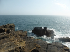
Rocks off Tater Du lighthouse
-
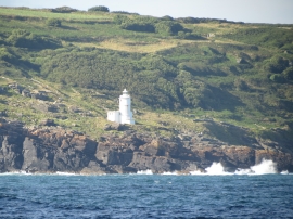
Waves breaking on the rocks below Tater-du lighthouse
Rocks off Tater Du lighthouse
Waves breaking on the rocks below Tater-du lighthouse
Location and coordinates are for the approximate centre of Tater-du within this administrative area. Geographic features and populated places may cross administrative borders.