-
Public seat on Broad Lane, West Wight
-

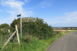
Broad Lane towards Thorley
Public seat on Broad Lane, West Wight
Broad Lane towards Thorley
Location and coordinates are for the approximate centre of Tapnell Furze within this administrative area. Geographic features and populated places may cross administrative borders.