-
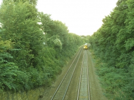
Railway east of Hough End Lane
-
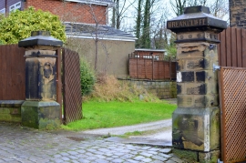
Hough End Lane, Bramley, Leeds
Railway east of Hough End Lane
Hough End Lane, Bramley, Leeds
Location and coordinates are for the approximate centre of Tannery Yard within this administrative area. Geographic features and populated places may cross administrative borders.