-
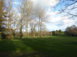
Fulford Heath golf course, Tanner's Green
-
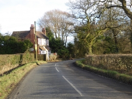
Tanners Green Lane, Wythall
Fulford Heath golf course, Tanner's Green
Tanners Green Lane, Wythall
Location and coordinates are for the approximate centre of Tanner's Green within this administrative area. Geographic features and populated places may cross administrative borders.