-

Glenferness Avenue
-
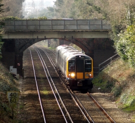
View west from Elgin Road
Glenferness Avenue
View west from Elgin Road
Location and coordinates are for the approximate centre of Talbot Woods within this administrative area. Geographic features and populated places may cross administrative borders.