-
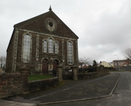
Capel Bethel, Llansamlet
-
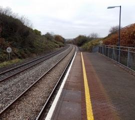
90 mph speed limit through Llansamlet railway station, Swansea
Capel Bethel, Llansamlet
90 mph speed limit through Llansamlet railway station, Swansea
Location and coordinates are for the approximate centre of Tai'r-ysgol within this administrative area. Geographic features and populated places may cross administrative borders.