-
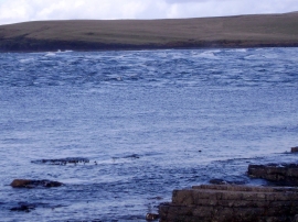
Island of Eynhallow with the Burgar Roost in full flow
-
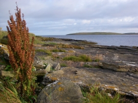
Shoreline rocks at Buckquoy
Island of Eynhallow with the Burgar Roost in full flow
Shoreline rocks at Buckquoy
Location and coordinates are for the approximate centre of Taing of Burgar within this administrative area. Geographic features and populated places may cross administrative borders.