-
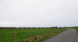
An October overspill from the Hell's Mouth car park
-
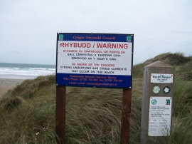
Warning Sign on the entrance to the beach at Hell's Mouth
An October overspill from the Hell's Mouth car park
Warning Sign on the entrance to the beach at Hell's Mouth
Location and coordinates are for the approximate centre of Tai-morfa within this administrative area. Geographic features and populated places may cross administrative borders.