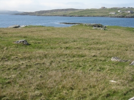
Tacleit, Na h-Eileanan Siar

(Hacklete)

« Gazetteer Entry
Upload Photo

Tacleit, Na h-Eileanan Siar

Other current and historical names

  • Hacklete
  • Unitary Authority: Na h-Eileanan Siar
  • Region: Scotland
  • Category: Populated Place
  • Type: Other Settlement
  • Latitude/Longitude: 58°12'33"N 6°51'2"W
  • Eastings/Northings: 115197, 934755
  • OS Grid: NB151347
  • Mapcode Local: GBR 97G1.4WH
  • Mapcode Global: WGX1L.QXZL

Location and coordinates are for the approximate centre of Tacleit within this administrative area. Geographic features and populated places may cross administrative borders.

BritishPlaceNames.uk is a Good Stuff website.