-
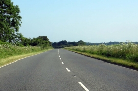
Banbury Road to Deddington
-
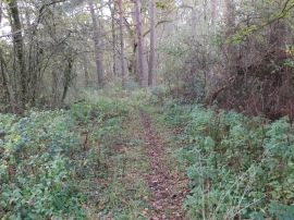
Woodland footpath near Little Heath Farm
Banbury Road to Deddington
Woodland footpath near Little Heath Farm
Location and coordinates are for the approximate centre of Tackley Heath within this administrative area. Geographic features and populated places may cross administrative borders.