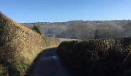
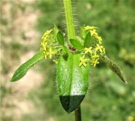
Sweethaws Wood, East Sussex

« Gazetteer Entry
Upload Photo

Sweethaws Wood, East Sussex

  • Parish/Community: Rotherfield
  • District/Borough: Wealden
  • County: East Sussex
  • Region: South East
  • Category: Landcover
  • Type: Forest or Wood
  • Latitude/Longitude: 51°2'7"N 0°8'53"E
  • Eastings/Northings: 550714, 128415
  • OS Grid: TQ507284
  • Mapcode Local: GBR LPN.28W
  • Mapcode Global: FRA C66C.TTF

Location and coordinates are for the approximate centre of Sweethaws Wood within this administrative area. Geographic features and populated places may cross administrative borders.

BritishPlaceNames.uk is a Good Stuff website.