-
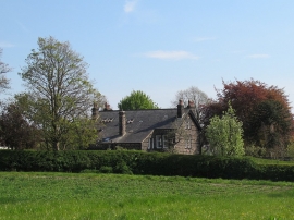
Houses on Low Hall Lane
-
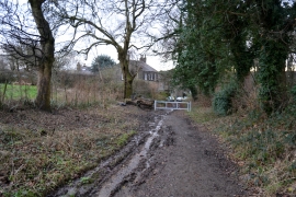
Barr Lane, Horsforth
Houses on Low Hall Lane
Barr Lane, Horsforth
Location and coordinates are for the approximate centre of Swaine Wood within this administrative area. Geographic features and populated places may cross administrative borders.