-
Dry stone wall and stone houses in Glaisdale
-

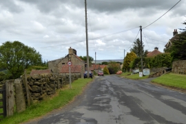
Glaisdale village
Dry stone wall and stone houses in Glaisdale
Glaisdale village
Location and coordinates are for the approximate centre of Sunny Brake within this administrative area. Geographic features and populated places may cross administrative borders.