-
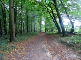
Public bridleway 412 on access land
-
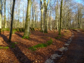
Bridleway by boundary at the southern end of Stubbs Wood
Public bridleway 412 on access land
Bridleway by boundary at the southern end of Stubbs Wood
Location and coordinates are for the approximate centre of Stubbs Wood within this administrative area. Geographic features and populated places may cross administrative borders.