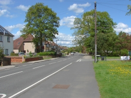
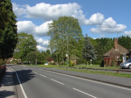
Built-Up Area: Broomhall/Windlesham/Virginia Water
Parish/Community: Runnymede, unparished area
District/Borough: Runnymede
County: Surrey
Region: South East
Category: Populated Place
Type: Village
Latitude/Longitude: 51°24'38"N 0°33'22"W
Eastings/Northings: 500501, 168955
OS Grid: TQ005689
Mapcode Local: GBR F9F.J50
Mapcode Global: VHFTP.9SQX
Location and coordinates are for the approximate centre of Stroude within this administrative area.
Geographic features and populated places may cross administrative borders.