-
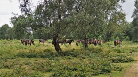
Exmoor Ponies in Sutton Park
-

Rosemary Hill Road
Exmoor Ponies in Sutton Park
Rosemary Hill Road
Location and coordinates are for the approximate centre of Streetly within this administrative area. Geographic features and populated places may cross administrative borders.