-
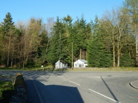
Dumbrock Road meeting Glasgow Road
-
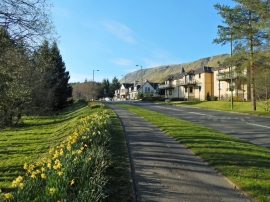
Glasgow Road, Strathblane
Dumbrock Road meeting Glasgow Road
Glasgow Road, Strathblane
Location and coordinates are for the approximate centre of Strathblane within this administrative area. Geographic features and populated places may cross administrative borders.