-
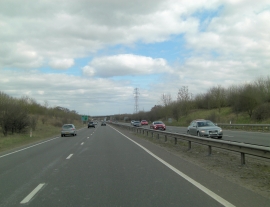
A34 northeast of Friese Farm
-
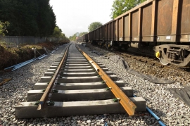
The second rail line is being constructed
A34 northeast of Friese Farm
The second rail line is being constructed
Location and coordinates are for the approximate centre of Stratfield Brake within this administrative area. Geographic features and populated places may cross administrative borders.