-

Long flight of steps, near Marldon
-
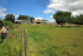
Approaching Aptor
Long flight of steps, near Marldon
Approaching Aptor
Location and coordinates are for the approximate centre of Strainytor Copse within this administrative area. Geographic features and populated places may cross administrative borders.