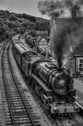
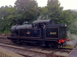
Straighthills Wood, Staffordshire

« Gazetteer Entry
Upload Photo

Straighthills Wood, Staffordshire

  • Parish/Community: Kingsley
  • District/Borough: Staffordshire Moorlands
  • County: Staffordshire
  • Region: West Midlands
  • Category: Landcover
  • Type: Forest or Wood
  • Latitude/Longitude: 53°1'12"N 1°57'39"W
  • Eastings/Northings: 402716, 346962
  • OS Grid: SK027469
  • Mapcode Local: GBR 372.P1K
  • Mapcode Global: WHBCX.VCC4

Location and coordinates are for the approximate centre of Straighthills Wood within this administrative area. Geographic features and populated places may cross administrative borders.

BritishPlaceNames.uk is a Good Stuff website.