-
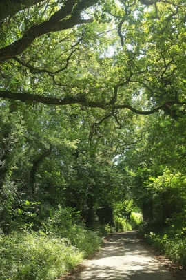
Lane past Upper Common
-
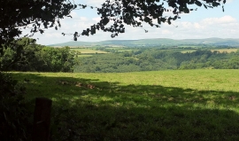
View to Dartmoor
Lane past Upper Common
View to Dartmoor
Location and coordinates are for the approximate centre of Storridge Wood within this administrative area. Geographic features and populated places may cross administrative borders.