-
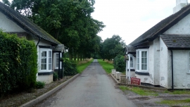
Mucklestone Lodges
-
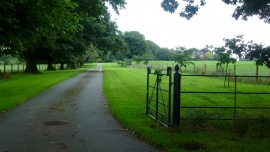
Estate road to The Arbour
Mucklestone Lodges
Estate road to The Arbour
Location and coordinates are for the approximate centre of Stonepit Plantation within this administrative area. Geographic features and populated places may cross administrative borders.