-
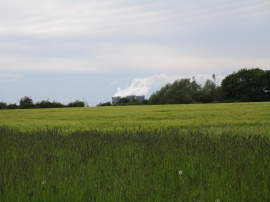
View towards West Burton power station
-
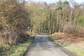
Bend on Station Road
View towards West Burton power station
Bend on Station Road
Location and coordinates are for the approximate centre of Stephenson's Hill within this administrative area. Geographic features and populated places may cross administrative borders.