-
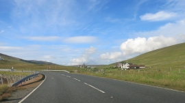
Approaching the Bend
-
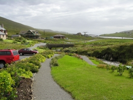
Garden at Weisdale Kirk
Approaching the Bend
Garden at Weisdale Kirk
Location and coordinates are for the approximate centre of Stenswall within this administrative area. Geographic features and populated places may cross administrative borders.