-
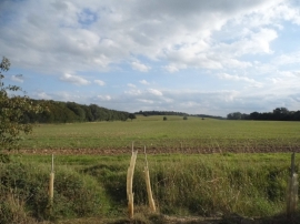
View by Church Lane, Stapleford
-
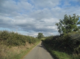
Church Lane, Stapleford
View by Church Lane, Stapleford
Church Lane, Stapleford
Location and coordinates are for the approximate centre of Stapleford within this administrative area. Geographic features and populated places may cross administrative borders.