-
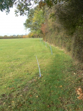
Stanton On The Wolds FP2 footpath
-
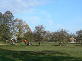
Stanton Golf Course
Stanton On The Wolds FP2 footpath
Stanton Golf Course
Location and coordinates are for the approximate centre of Stanton-on-the-Wolds within this administrative area. Geographic features and populated places may cross administrative borders.