-
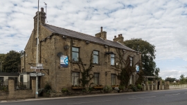
Elletson Arms
-
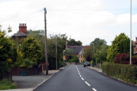
Garstang Road in Stake Pool
Elletson Arms
Garstang Road in Stake Pool
Location and coordinates are for the approximate centre of Stake Pool within this administrative area. Geographic features and populated places may cross administrative borders.