-
OS benchmark - Bednall Head, gatepost into parkland
-
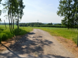
Private road in Teddesley Park
OS benchmark - Bednall Head, gatepost into parkland
Private road in Teddesley Park
Location and coordinates are for the approximate centre of Springslade Pool within this administrative area. Geographic features and populated places may cross administrative borders.