-

Pasture at Bye Green
-
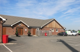
Aylesbury Rugby Club
Pasture at Bye Green
Aylesbury Rugby Club
Location and coordinates are for the approximate centre of Splash Covert within this administrative area. Geographic features and populated places may cross administrative borders.