-
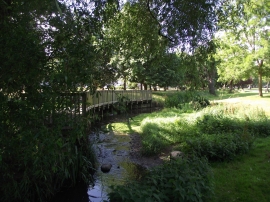
Evington Brook flows through Spinney Hills Park
-
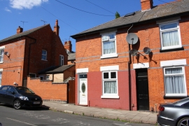
#72 Fairfield Street
Evington Brook flows through Spinney Hills Park
#72 Fairfield Street
Location and coordinates are for the approximate centre of Spinney Hills within this administrative area. Geographic features and populated places may cross administrative borders.