-
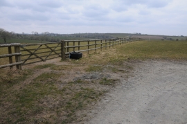
Fence across a field
-
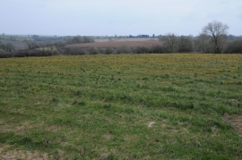
Farmland near Walton Mill
Fence across a field
Farmland near Walton Mill
Location and coordinates are for the approximate centre of Southfield Wood within this administrative area. Geographic features and populated places may cross administrative borders.