-
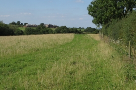
Footpath to Derby Road with The Scaddows beyond
-

Footpath to Derby Road
Footpath to Derby Road with The Scaddows beyond
Footpath to Derby Road
Location and coordinates are for the approximate centre of Smith's Gorse within this administrative area. Geographic features and populated places may cross administrative borders.