-
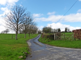
Drive to Woodhayes Farm
-
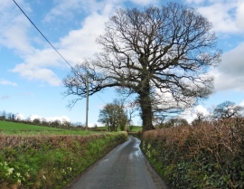
Lane to Beacon
Drive to Woodhayes Farm
Lane to Beacon
Location and coordinates are for the approximate centre of Slade's Copse within this administrative area. Geographic features and populated places may cross administrative borders.