-
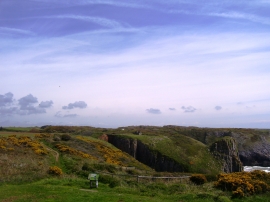
Overlooking cliffs from Skrinkle carpark
-

Cliffs near Skrinkle Haven
Overlooking cliffs from Skrinkle carpark
Cliffs near Skrinkle Haven
Location and coordinates are for the approximate centre of Skrinkle Haven within this administrative area. Geographic features and populated places may cross administrative borders.