-
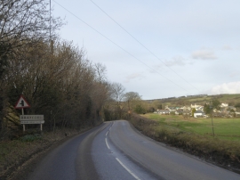
The edge of Brayford and the village itself
-
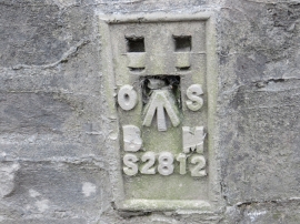
Ordnance Survey Flush Bracket S2812
The edge of Brayford and the village itself
Ordnance Survey Flush Bracket S2812
Location and coordinates are for the approximate centre of Shutscombe Wood within this administrative area. Geographic features and populated places may cross administrative borders.